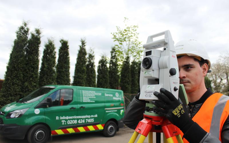
Service Mapping is the Toureen Group's in-house utility survey division, undertaken by experienced Survey Engineers.
The fully trained team combine knowledge and expertise in a range of utility detection technologies, including ground penetrating radar (GPR) equipment, electromagnetic locators, RD8100 Cat Scan and TX10 signal generators. The team is skilled at filtering out ‘false’ signals and interpreting below ground features in order to provide clients with thorough, detailed and accurate results. Service Mapping provides a detailed understanding of what is above and below the surface.
Service Mapping specialises in utility detection and mapping. Increasingly, clients select utility search services following the PAS128:2014 British Standards, which specifies requirements for the detection, verification and location of existing and new underground utilities. See below for a simple explanation on the classification category types ranging in complexity from D down to A:
PAS 128 SURVEY CATEGORY TYPE D
Underground utility plotted from utility record data only (not detected by geophysical methods). This survey can also be offered as part of the Group's desktop service.
PAS 128 SURVEY CATEGORY TYPE C
Underground utility plotted from utility record data only, but with site reconnaissance to match utility record with physical utility street furniture as a best fit.
PAS 128 SURVEY CATEGORY TYPE B
Utility detected by geophysical methods (single or multiple) to obtain a horizontal position and/or vertical position (depth).
PAS 128 SURVEY CATEGORY TYPE A
Utility verified and positioned by physical identification. This may be by strategically positioned vacuum excavation, hand dug trail pitting or by visual inspection within a utility chamber.
TECHNOLOGY
The Group has invested in a wide range of cutting edge technology to improve locating utilities:
- electromagnetic locators (EML): SPZ radio detection’s top cable avoidance tool TX10 and RD8100 with GPS incorporated which offers the possibility of providing reports in Google Earth,
- ground penetrating radar (GPR): The latest technology in locating the non-conducting services, as well as in detecting underground anomalies, pinpoint voids, unchartered services and ground obstructions which can be analysed and plotted to 3D reports or existing drawings,
- global navigational surveying systems (GNSS) / global positioning system (GPS): This involves surveying and transferring all data from the field to an electronic format in OSGB36,
- Total Station TS16 in the production of topographical surveys.

